New Productivity Apps
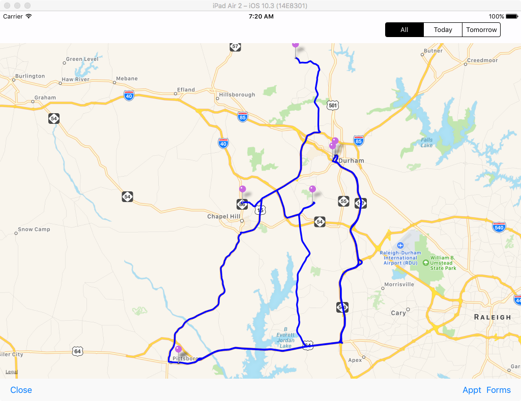
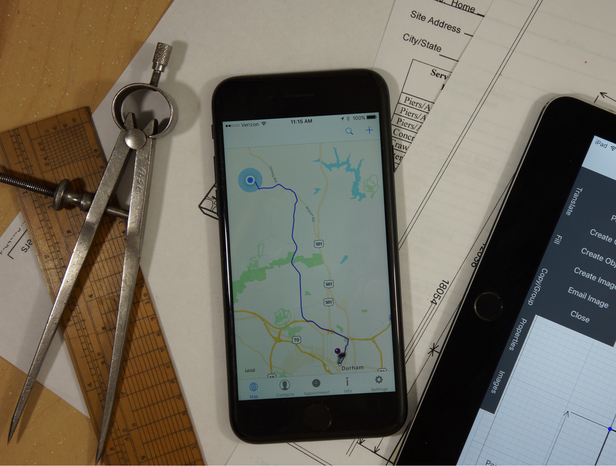
In addition to GraphPad, I'm planning on creating other productivity Apps geared towards realtors and contractors. I just uploaded the first of these Apps to the App Store - an iPhone Mapping application that allows users to show all their appointments on a single Map, with directions between them. Opening an appointment and pressing on a button transfers the appointment location to Apple Maps, giving users turn-by-turn directions from their current location.
This is only the start, though. If there's a lot of interest, I could turn this into a Mileage tracking App, allowing users to record all their appointments and output a weekly or monthly log of who they saw and how many miles they drove. That will depend on users response, however. If this is something you'd like to see, please add a comment to this post or send me an email via the contact form on this website.
SHOW ALL YOUr APPOINTMENTS ON A SINGLE MAP...
Appointment tracker is an iPhone App that allows users to plot all their appointments on a single map along with the directions to each. Selecting an appointment will display the appointment information, and with the click of a button an appointment can be transferred to Apple Maps to get turn by turn directions. Add a Contact for clients you frequently visit and get the address of your current location simply by pressing a button. Great for contractors and realtors or anyone who typically travels to multiple locations on any given day.